

The Discovery Islands
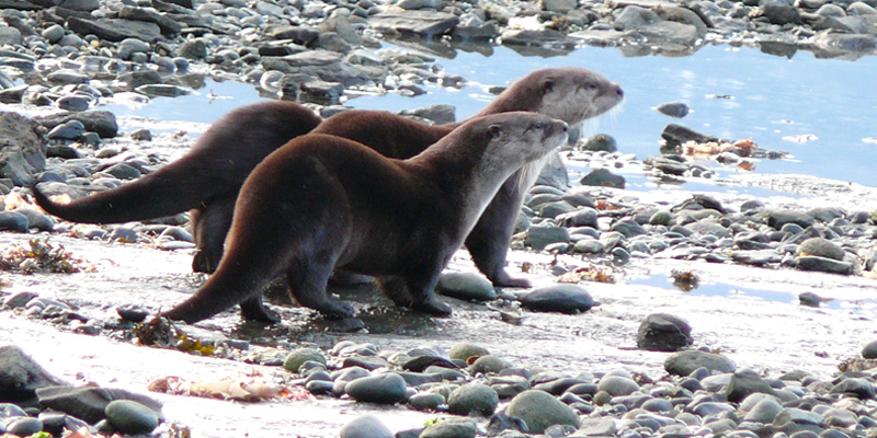
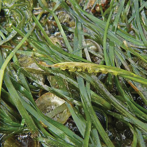
The Discovery Islands form the archipelago at the northern edge of the Salish Sea, between BC’s highest mountains and Vancouver Island. At the edge of remote wilderness, these islands are a place of magnificent natural beauty, rich biological diversity, and small caring communities.
The area’s economy includes provision of services, as well as activities that are resource based, including recreation and tourism, aquaculture, and logging.
The Discovery Islands Ecosystem Mapping (DIEM) Project is a community response to top-down land management, concerns about development impacts, and questions about what’s appropriate. Initiated by residents in 2012, the DIEM Project exists to support meaningful community involvement and land use decisions that consider all needs and values.
The DIEM Project
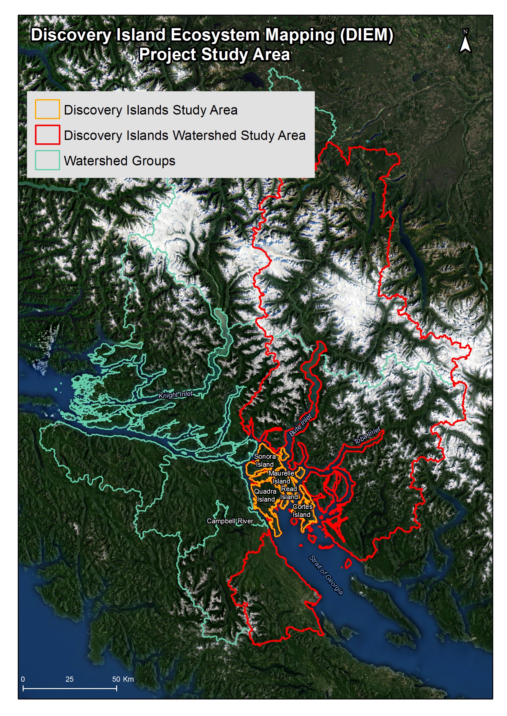
The Discovery Islands Ecosystem Mapping (DIEM) Project Area is the Discovery Islands watersheds basin. This includes the islands – Quadra, Cortes, Read, Maurelle, Sonora, Stuart, Raza, East Redonda, West Redonda, and the Rendezvous – and (to height of land) the Pacific coast range mountains surrounding Bute and Toba Inlets.
The DIEM Project has created baseline maps to provide comprehensive information and a visual reference that local communities – as well as government and other land managers – can use to better understand the area and enlighten discussions about resources and development.
DIEM’s Watersheds Analysis data provides new possibilities for assessing past, present and future environmental impacts. Community mapping to document citizen observations is an ongoing part of the DIEM Project.
Watersheds

Project Study
Sensitive Ecosystem Inventory
